Sea Surface Temperature [2026.10.29]
The SST datasets most used in oceanographic research are GHRSST, ERSST and HadISST. Choose between high-resolution analyses (GHRSST) and long-term climate records (ERSST, HadISST) according to your purpose.
GHRSST versus ERSST and HadISST
GHRSST is a project and a data-format standard; it encompasses many SST products that different institutions produce in the GHRSST format. ERSST (NOAA) and HadISST (Met Office Hadley Centre) are single, long-term reconstructed SST datasets. The two families are produced for different purposes, so pick the one that fits your application.
Global products
-
GHRSST · high resolution
L2–L4 products from many institutions (OSTIA, MUR and others). Suited to detailed regional analysis
GHRSST notes and product comparison
MATLAB download script (11 GHRSST L4 datasets, OISST) -
OISST v2 · 0.25°, daily
NOAA optimum interpolation SST. Downloadable from PSL with the MATLAB script
-
ERSST · low resolution, long term
NOAA long-term reconstructed SST. Suited to climate studies
-
HadISST · low resolution, long term
Met Office Hadley Centre long-term SST and sea ice. Suited to climate studies
Other SST products on PO.DAAC
See the PO.DAAC MATLAB Download Manual.
Surface temperature analysis
GISTEMP v4 (NASA GISS) · Data.GISS: GISTEMP v4
About GISTEMP v4
The GISS Surface Temperature Analysis version 4 (GISTEMP v4) is an estimate of global surface temperature change. Graphs and tables are updated around the 10th of every month using current data files from NOAA GHCN v4 (meteorological stations) and ERSST v5 (ocean areas), combined as described in Hansen et al. (2010) and Lenssen et al. (2024). These updated files incorporate reports for the previous month as well as late reports and corrections for earlier months.
Regional: Korea
KHOA SST · L4, daily · 2020 – present
A blended SST field for the seas around Korea that includes in situ observations.
- OPeNDAP Hyrax: /CONJUGATE/KHOA_SST/
- KHOA product GIS system, quick visualization and download
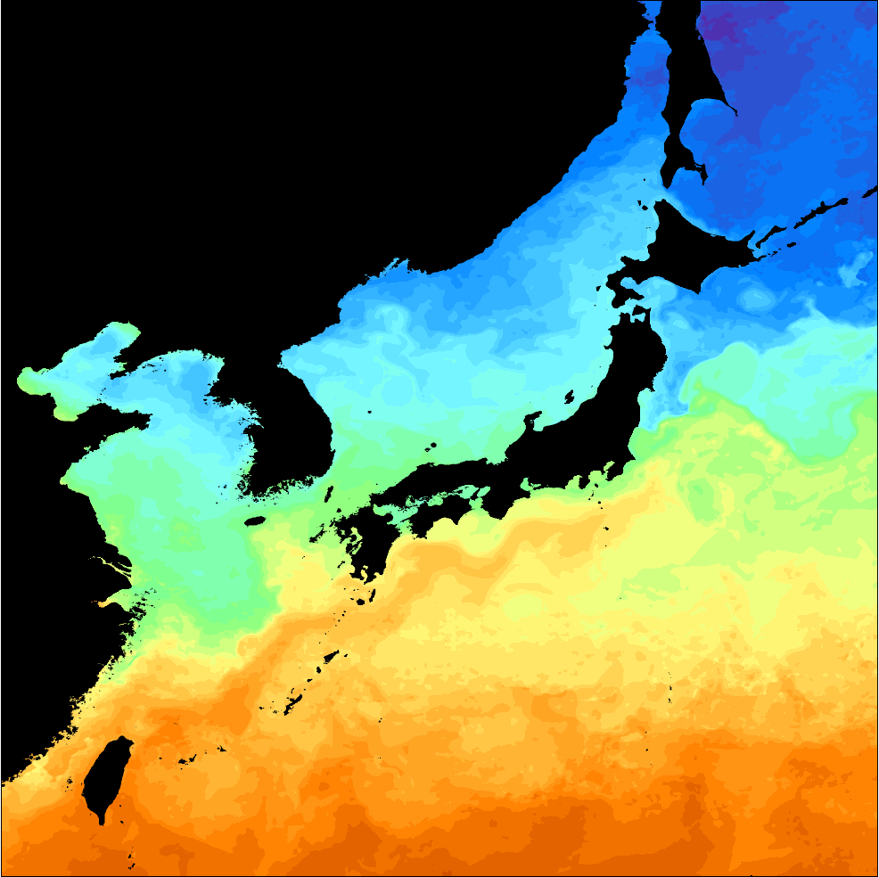
Input data
An L4 ocean satellite product generated once a day by blending five satellites (GK2A AMI, NOAA-20 VIIRS, Terra MODIS, GCOM-W1 AMSR2, GPM GMI) with the national ocean observing network (46 tide stations, 31 ocean buoys), KMA marine meteorological buoys (21) and NIFS fishing-ground information (117 sites), to provide SST information specific to the seas around Korea.
Documents: Level 2 summary (KHOA SST) · SST ATBD (KHOA)
In situ SST for validation
iQuam (NOAA STAR in situ SST quality monitor) is described on the In Situ page: iQuam (In Situ → Other datasets).