SAR (Synthetic-Aperture Radar) [2024.11.13]
Sentinel-1, ERS, ALOS 등 합성개구레이더(SAR)의 해면 영상 자료와 다운로드 경로(ASF, Copernicus Data Space), MATLAB 도구를 정리했습니다.
SAR란
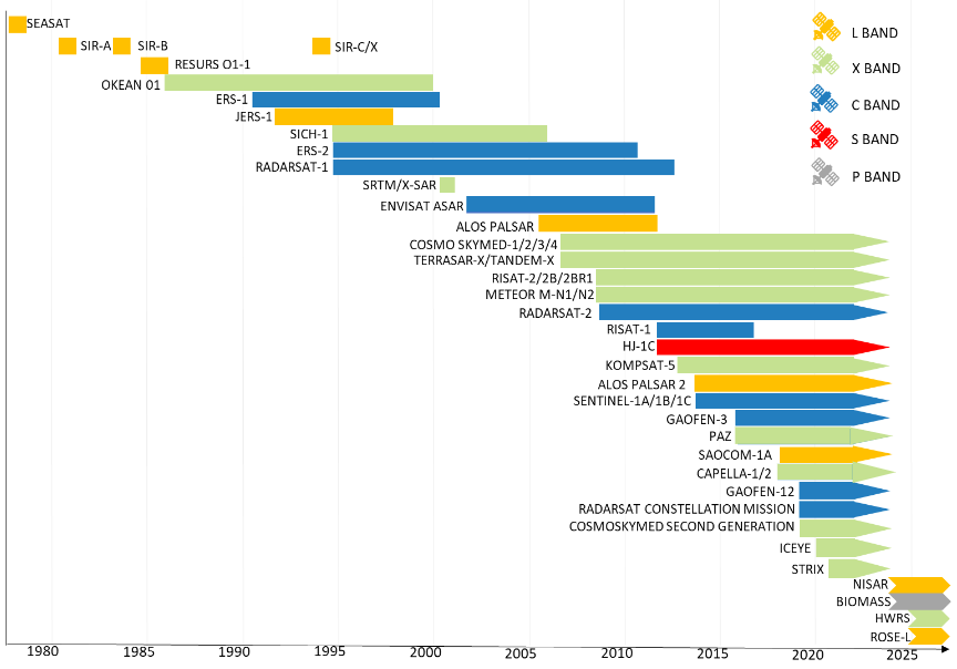
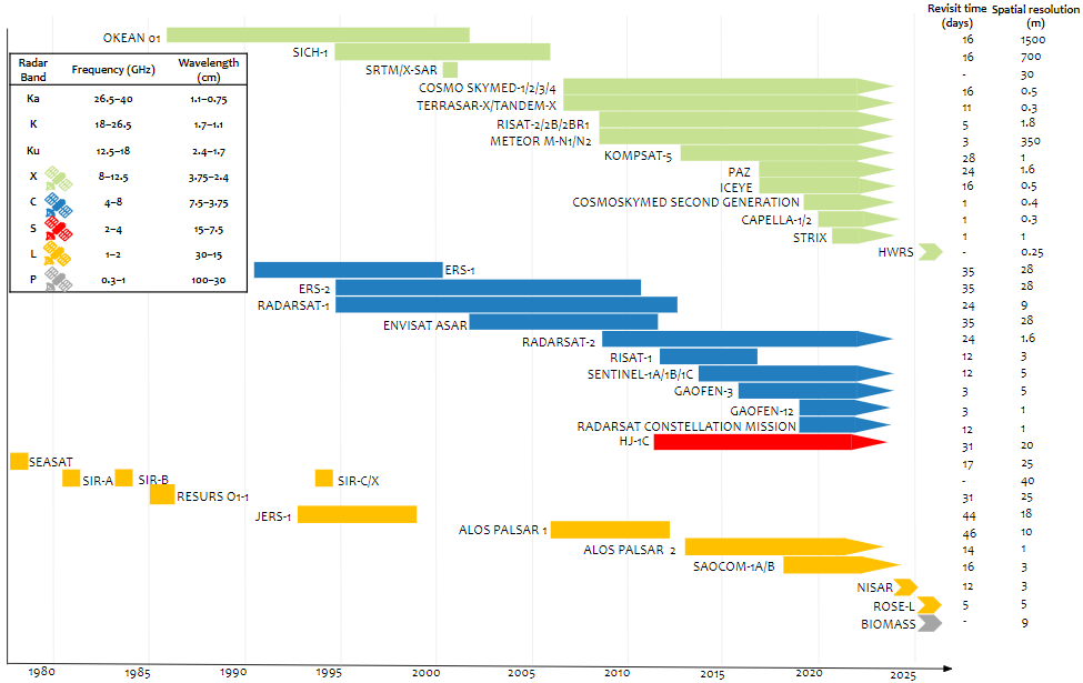
Sentinel-1이란
Sentinel-1 is the first of the Copernicus Programme satellite constellations conducted by the European Space Agency. The mission was originally composed of a constellation of two satellites, Sentinel-1A and Sentinel-1B, which shared the same orbital plane. Sentinel-1A was launched on 3 April 2014, and Sentinel-1B on 25 April 2016. (Wikipedia)
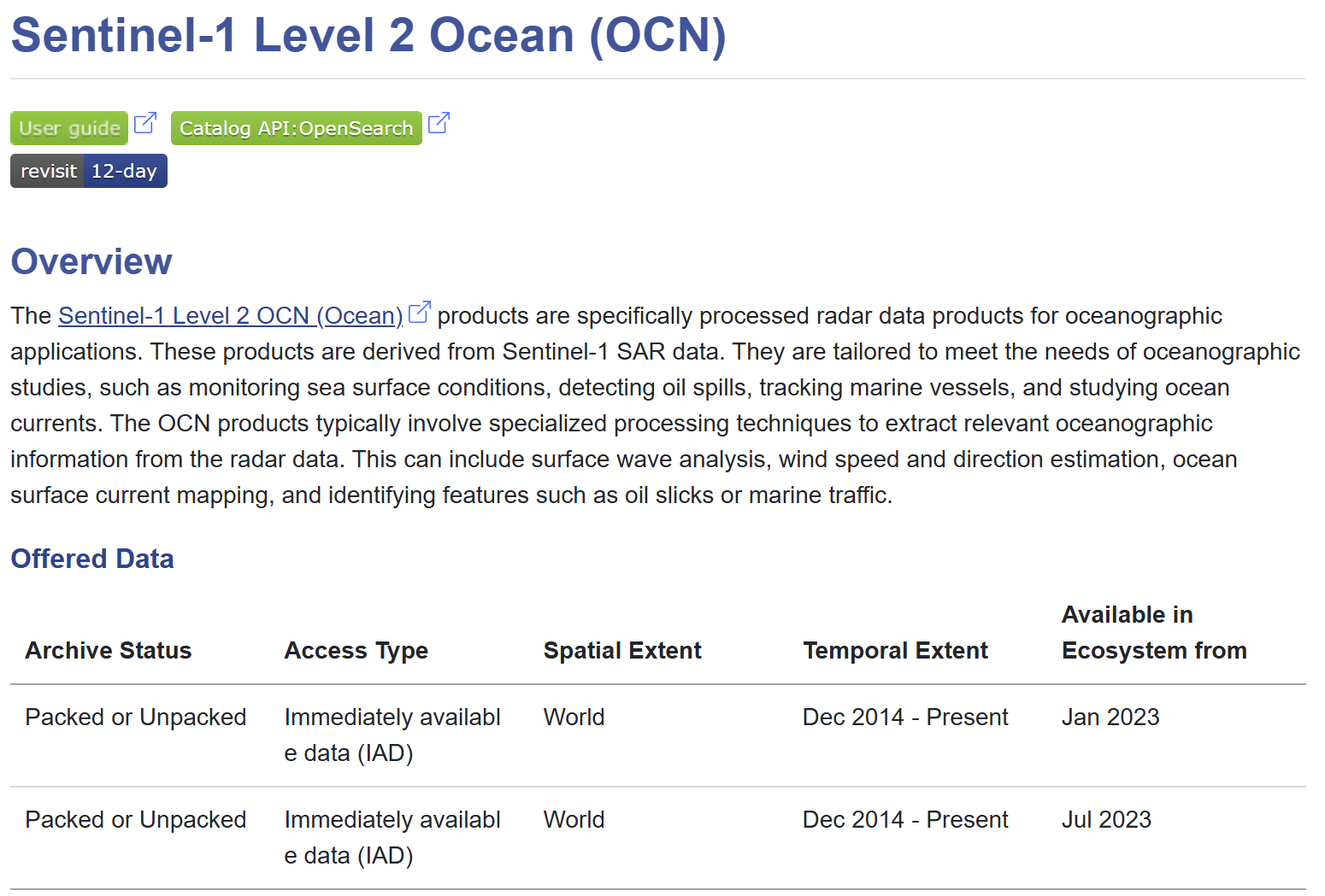
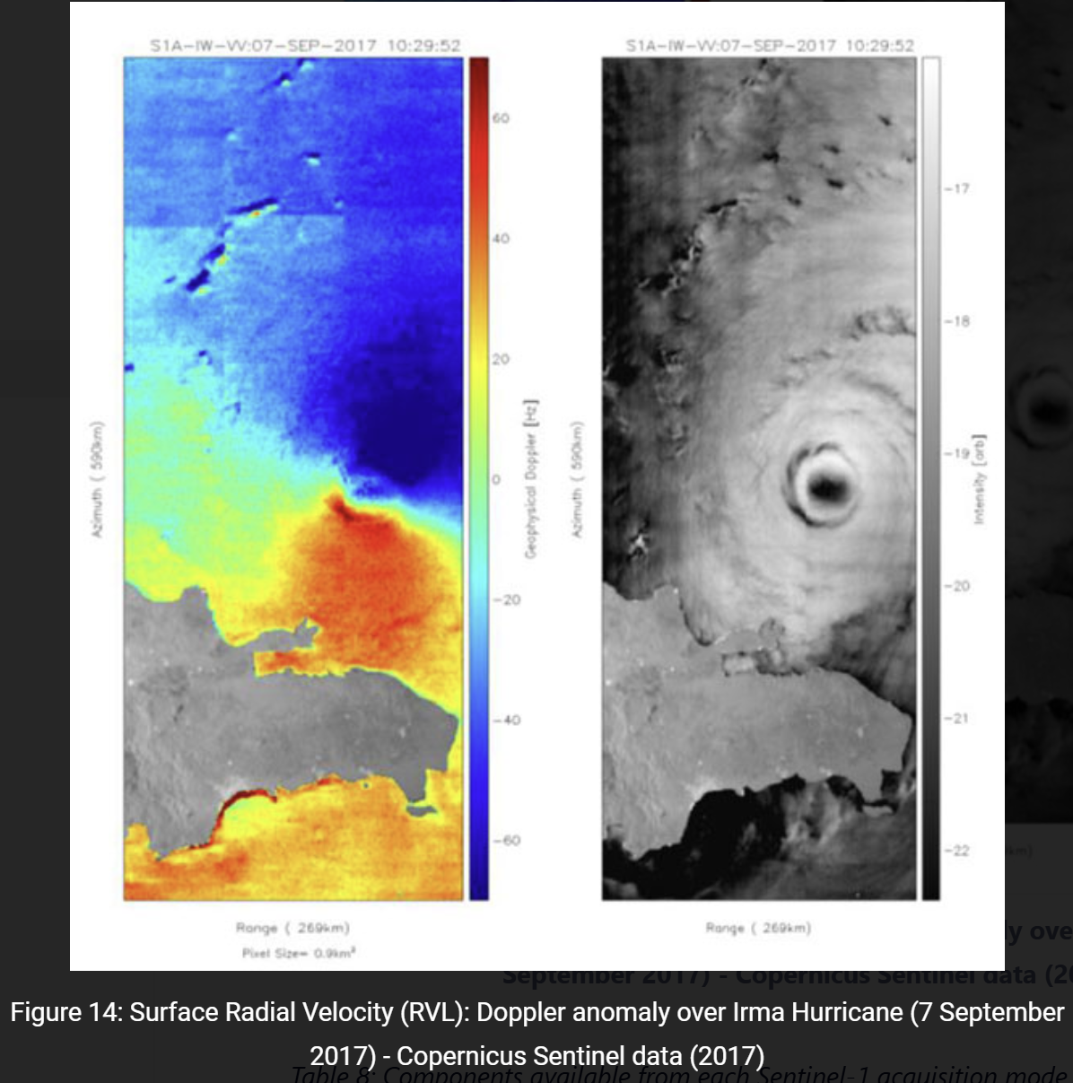
평소에는 저해상도로 넓은 영역을 관측하다가, 관심 영역에서는 고해상도로 좁은 영역을 관측할 수 있습니다. 장점은 날씨와 무관하게 관측할 수 있다는 점이고, 단점은 해석이 어렵다는 점입니다. 무엇보다 해양에 대한 관측이 충분치 않습니다(연안 관측은 있으나 외해 관측은 적습니다).
MATLAB 도구
- oceanremotesensing/MATLAB_SAR
- SAR Processor (File Exchange)
- SAR Signal Processing with MATLAB Algorithms, Reloaded (File Exchange)
ASF에서 다운로드 (ERS, Sentinel-1, ALOS)
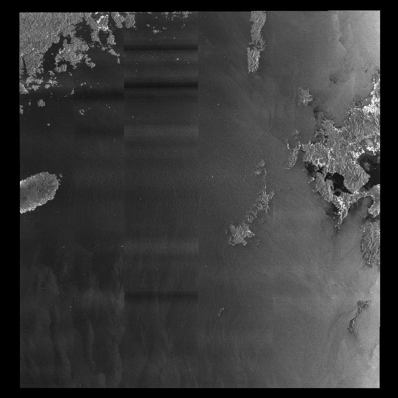
GRD_HS, GRD_HD는 Vertex에서 미리보기가 되지만 OCN은 미리보기가 되지 않습니다. OCN은 다운받은 후에 확인할 수 있습니다. 아래는 OCN 자료의 예시입니다(위치는 동중국해, 일본 큐슈 남서쪽 해역).
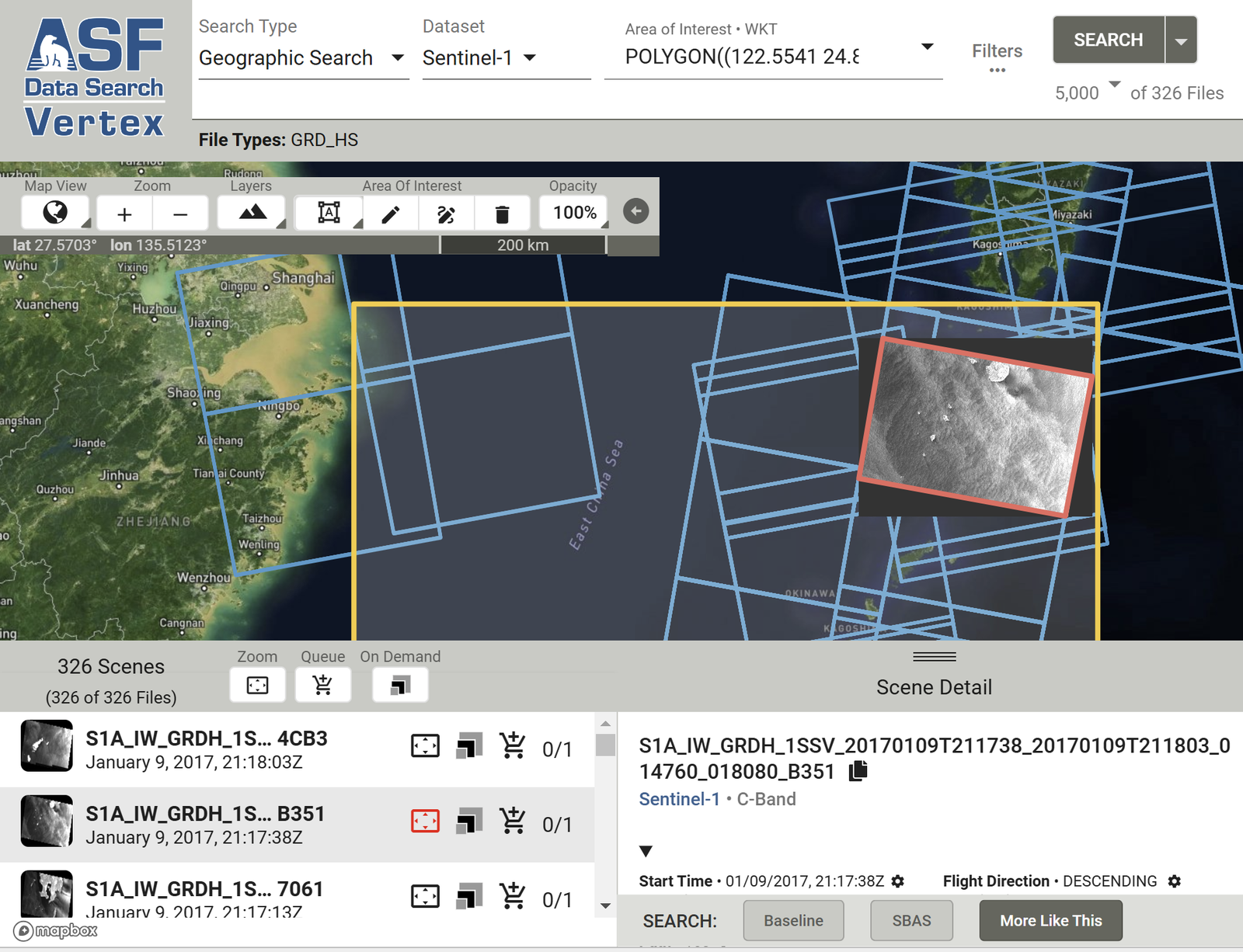
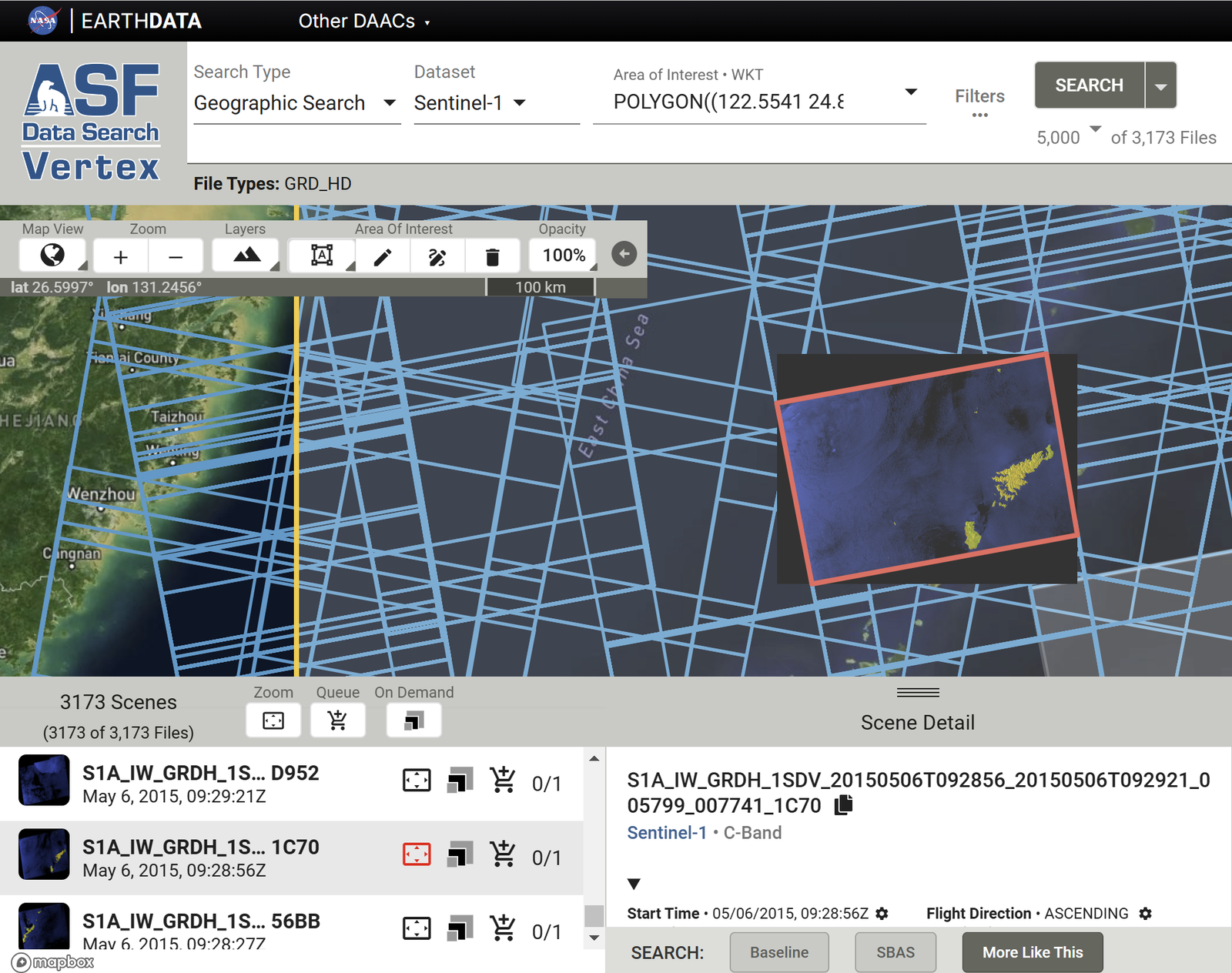
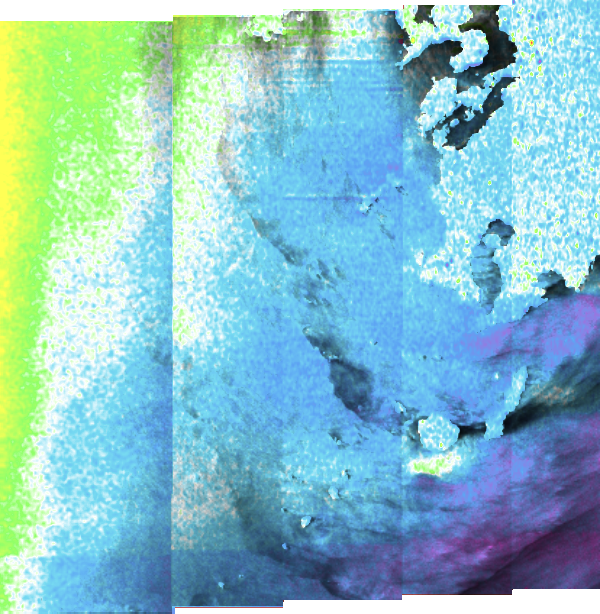
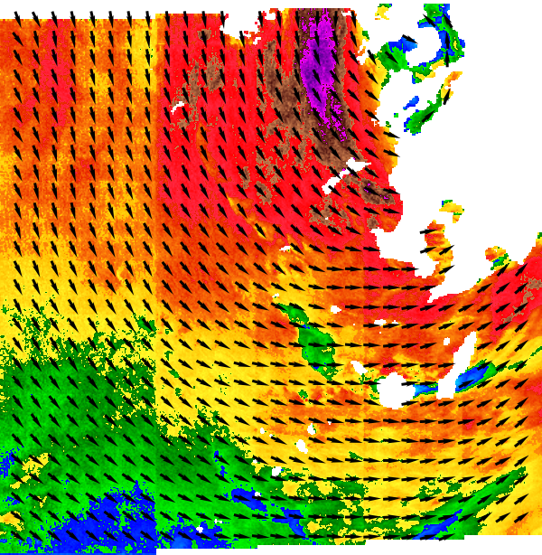
같은 방식으로 일본의 ALOS 자료도 받을 수 있습니다. 아래 예시는 동중국해이며, 사진에서 제주도가 보입니다.
ASF에서 여러 scene 한 번에 받기
Export API를 선택합니다.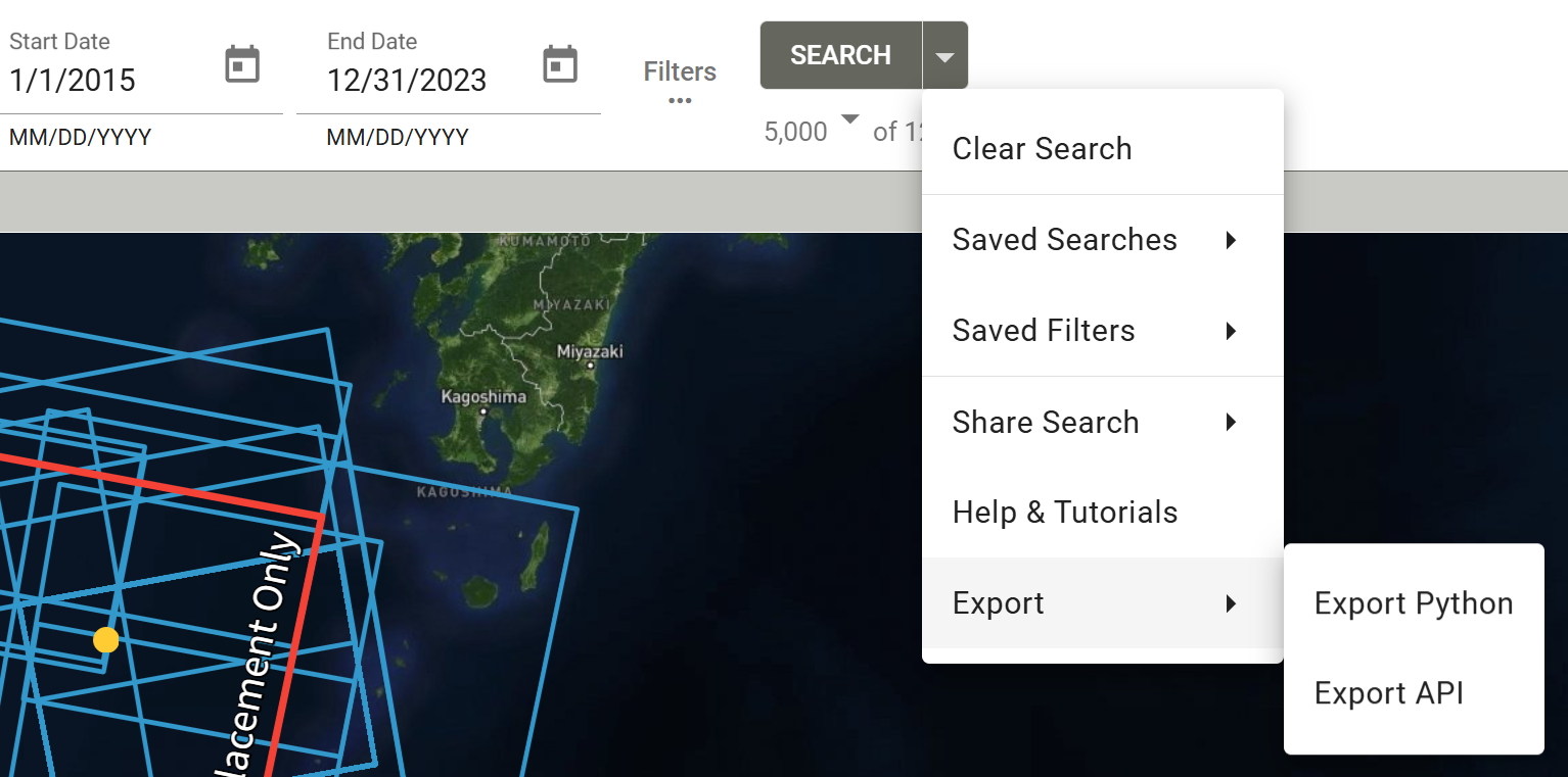
ASF Vertex: Export API Download Results를 클릭합니다.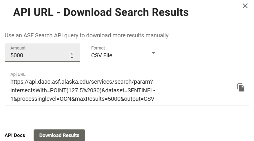
ASF Vertex: Download Results - CSV 파일을 열어 보면 아래와 같습니다. 이 중
URL항목의 정보가 필요합니다.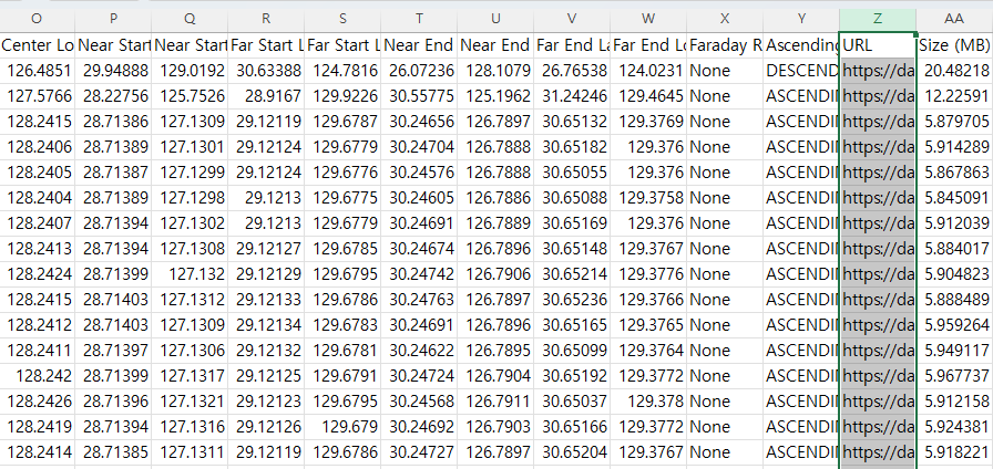
ASF에서 내보낸 CSV의 URL 열 -
아래 MATLAB 코드를 실행합니다. 실행 전에 Earthdata 사이트에 로그인되어 있어야 합니다. 개인적으로는
for문에서i=1만 두고 시험 삼아 먼저 실행해 보기를 권합니다. 그러면 Earthdata 사이트가 자동으로 뜨면서 로그인을 요구하므로 그 페이지에서 로그인하면 되고, 다운로드 속도도 확인할 수 있습니다. 속도가 너무 느리면lag_time값을 늘리세요.Open each ASF URL for downloadclc; clear; close all; % A file containing the data URL of the SAR satellite data downloaded % from the Alaska Satellite Facility (ASF) must be prepared read_xls; % read information about "URL" address in excel % Choose the appropriate value for your Internet speed environment lag_time = 1; % seconds between download each files. % Before executing the code, you must log in to the earthdata site in advance. % EARTHDATA Homepage : https://urs.earthdata.nasa.gov/ for i=1:length(URL) web(URL(i)) pause(lag_time); end -
코드를 실행하면 아래와 같이 압축 파일이 다운로드됩니다.
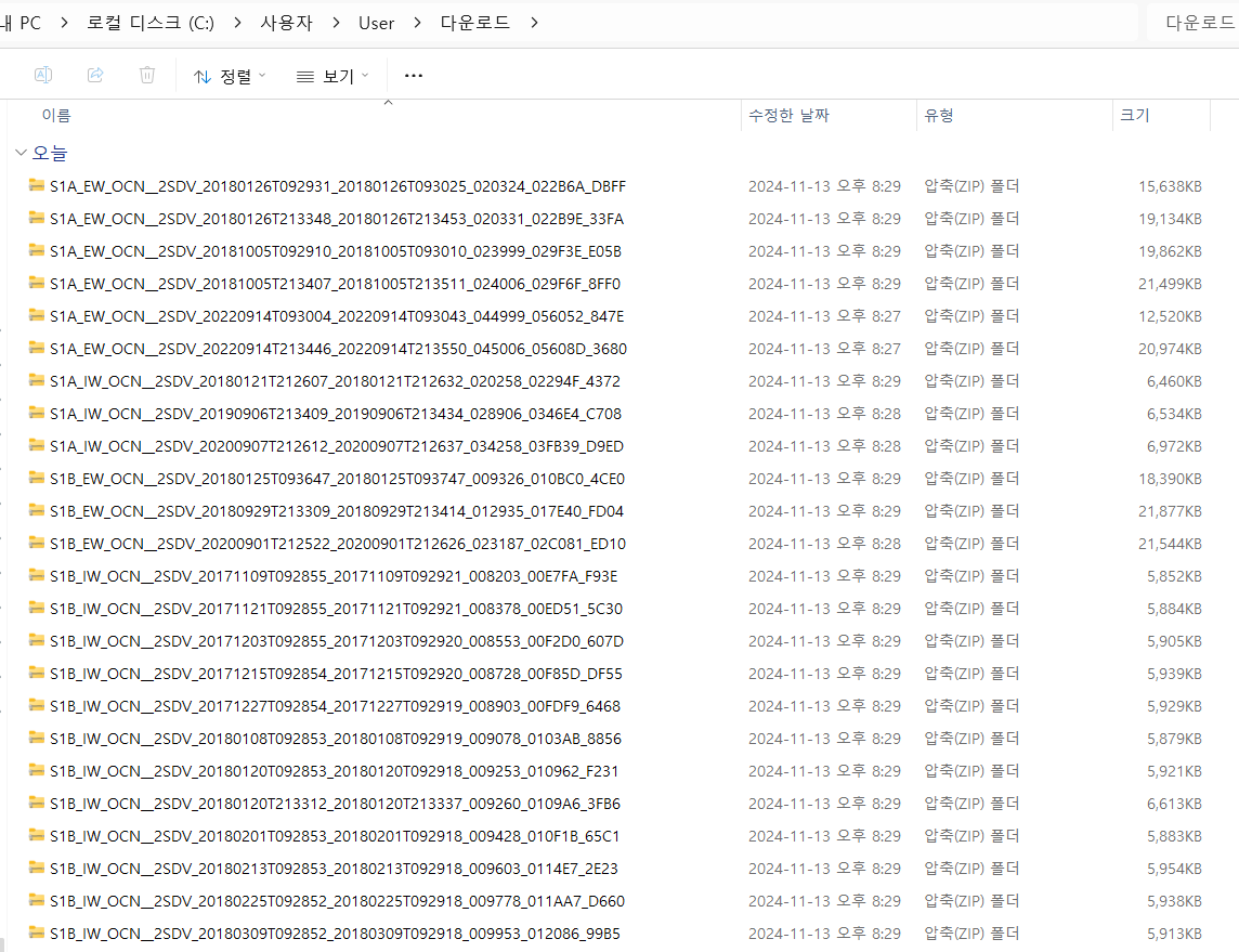
다운로드된 zip 파일들 -
압축을 하나씩 풀기는 번거로우므로 MATLAB 코드를 사용합니다.
-
시각화 예시입니다.
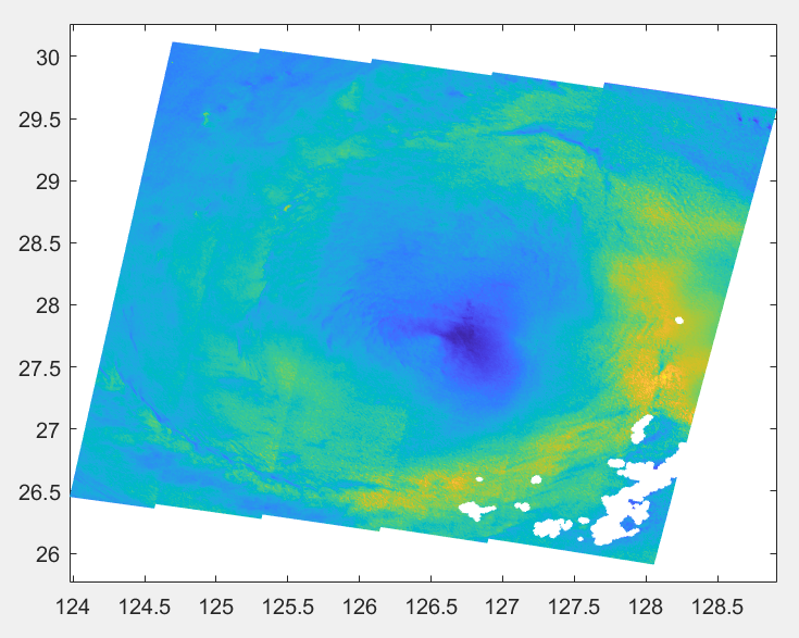
Sentinel-1 OCN 풍속을 pcolor로 그린 결과 Plot OCN wind speedclc; clear; close all; fnm = "C:\Users\User\OneDrive\문서\MATLAB\2024_Kuro" + ... "\khanun_SAR\S1A_EW_OCN__2SDV_20230804T213456_20230804T213559_049731_05FAEB_00F4.SAFE" + ... "\measurement\s1a-ew-ocn-vv-20230804t213456-20230804t213559-049731-05FAEB-001.nc"; wind = ncread(fnm, 'owiWindSpeed'); lon = ncread(fnm, 'owiLon'); lat = ncread(fnm, 'owiLat'); figure pcolor(lon, lat, wind); shading interp
ERS SAR 자료 다운로드
Copernicus Data Space에서 Sentinel-1 다운로드
- Copernicus Data Space Ecosystem에 접속해 회원가입합니다.
- 우측 상단의 연두색
Copernicus Browser버튼을 클릭합니다.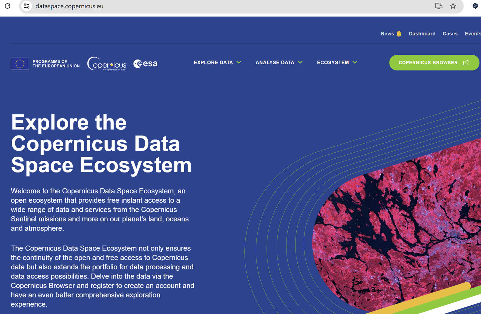
Copernicus Data Space: Copernicus Browser 버튼 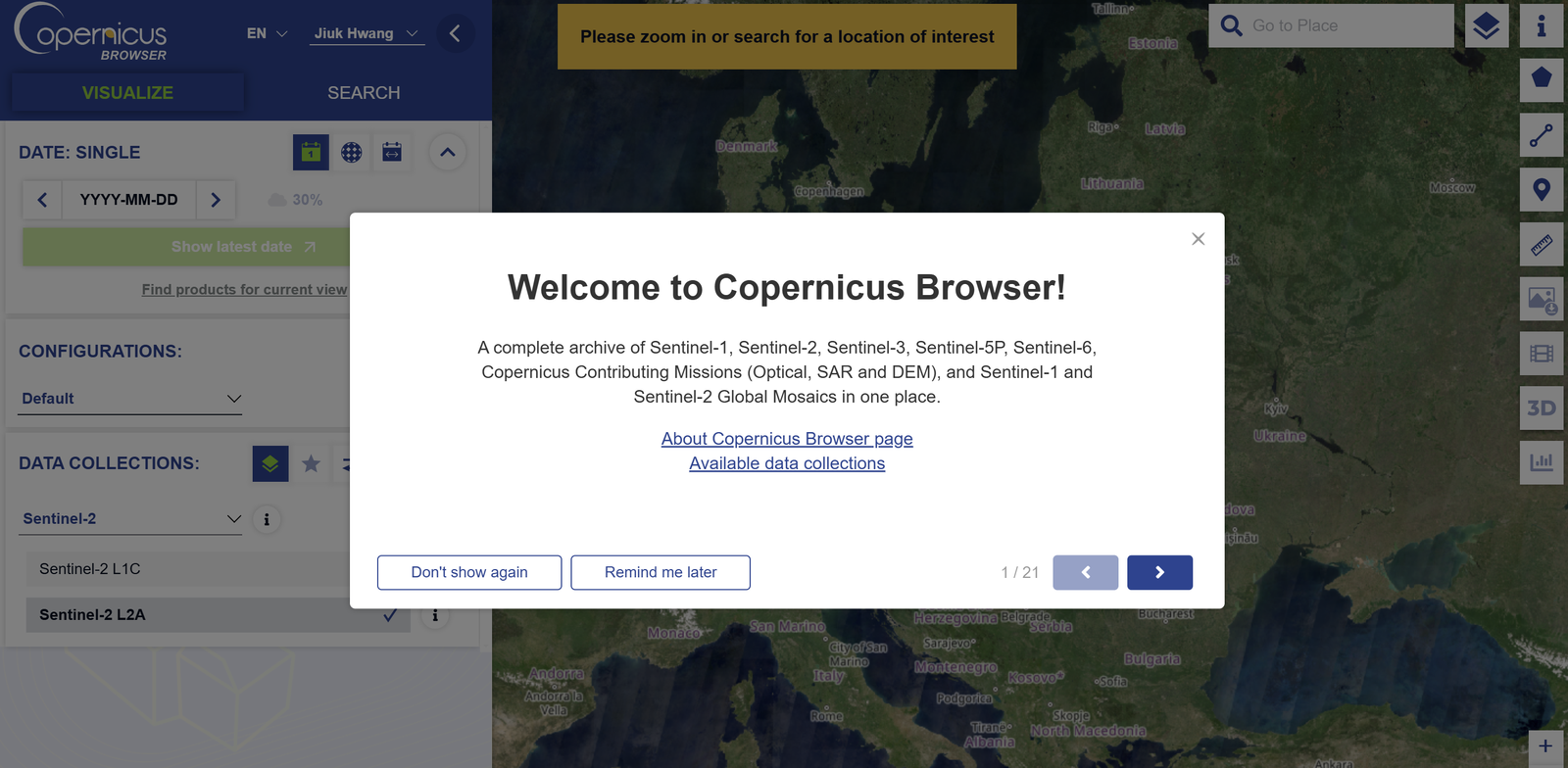
Copernicus Browser 화면 SEARCH창에서 원하는 위성과 자료를 선택한 뒤 맨 아래의 연두색Search버튼을 클릭합니다. 수업 과제에서는 Level-1 GRD > IW > VV+VH 또는 HH+HV 설정으로 자료를 받았습니다.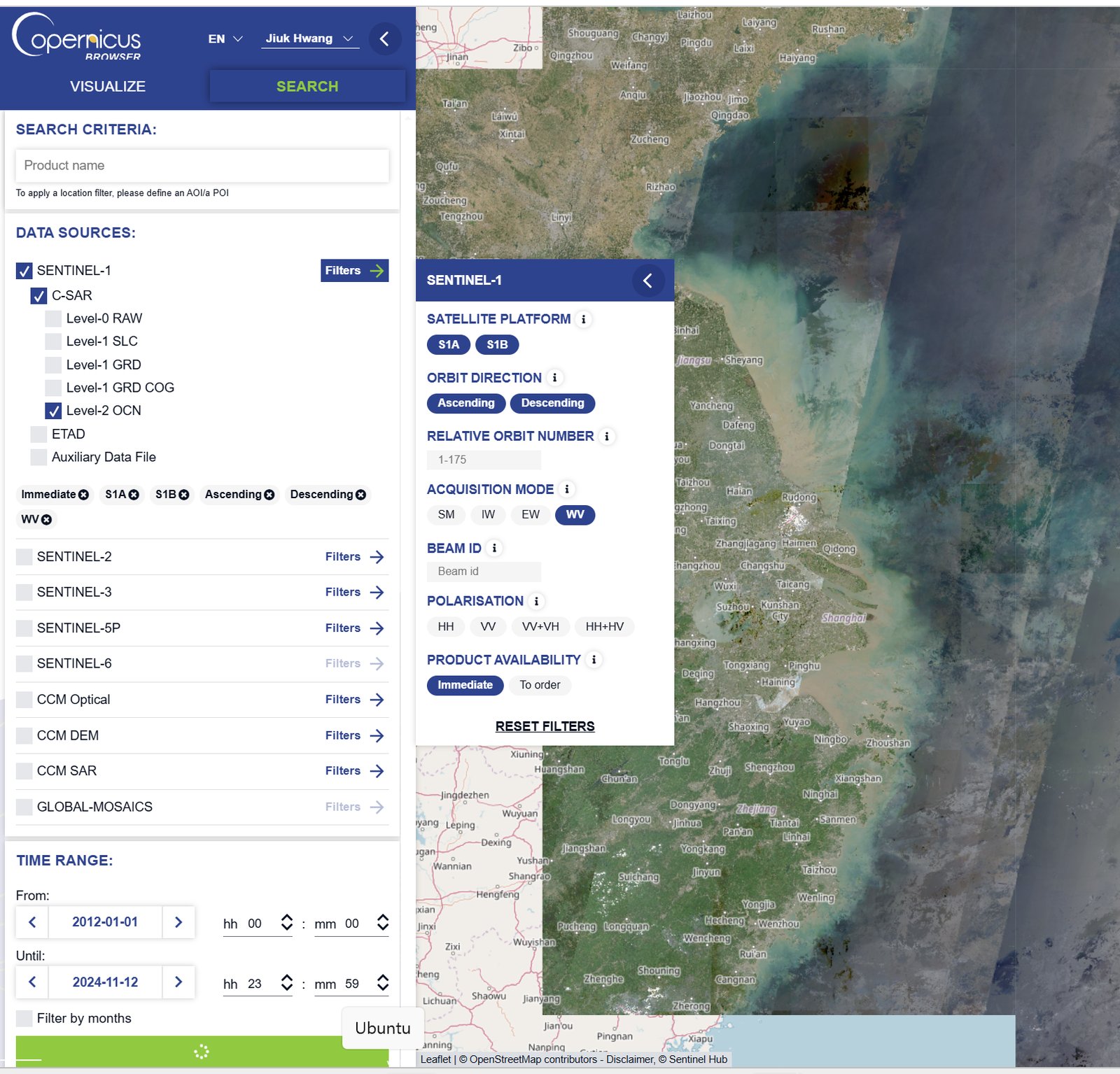
Copernicus Browser: 검색 설정 - 특정 시점의 자료를 다운로드할 수 있습니다.
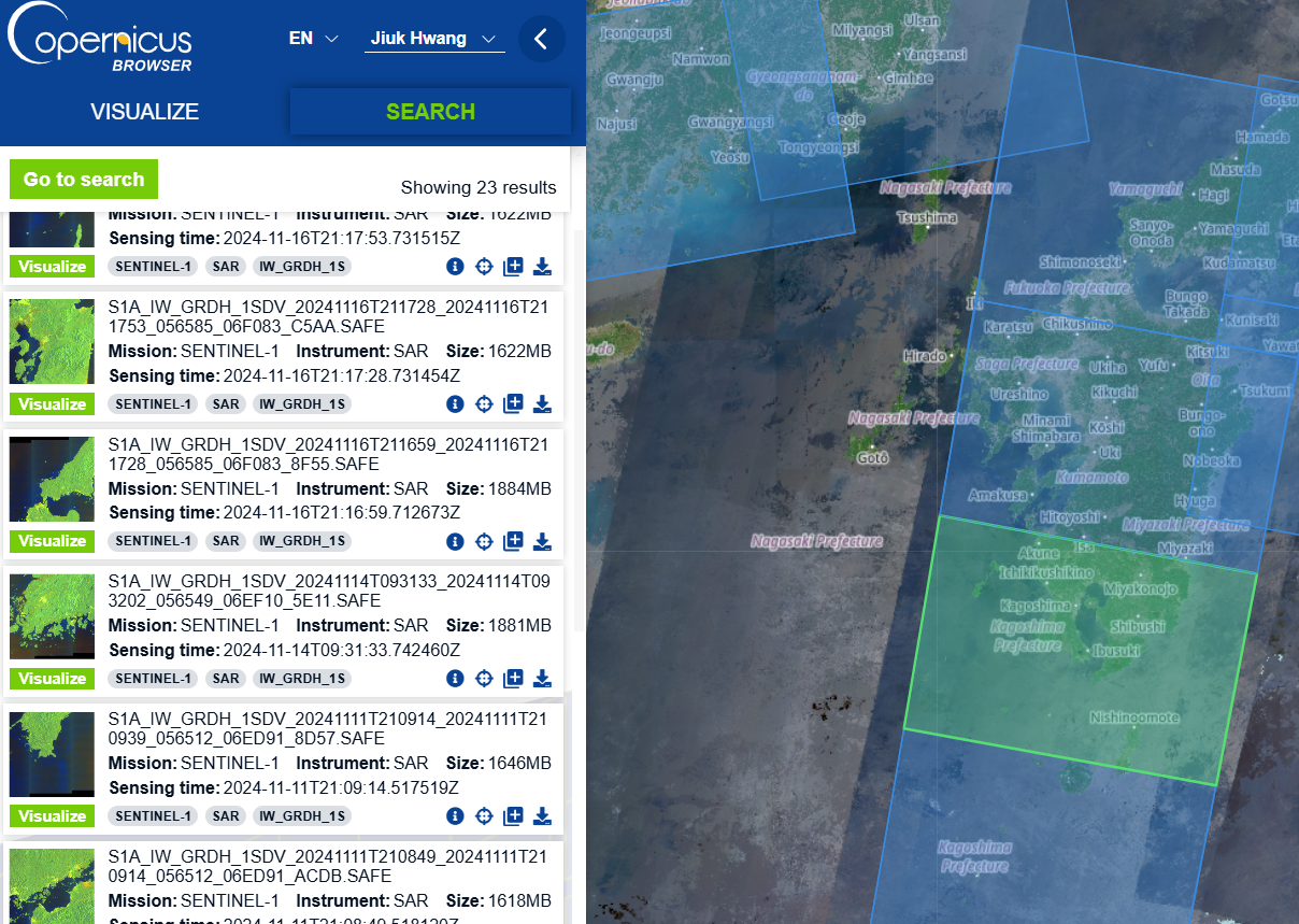
Copernicus Browser: 검색 결과 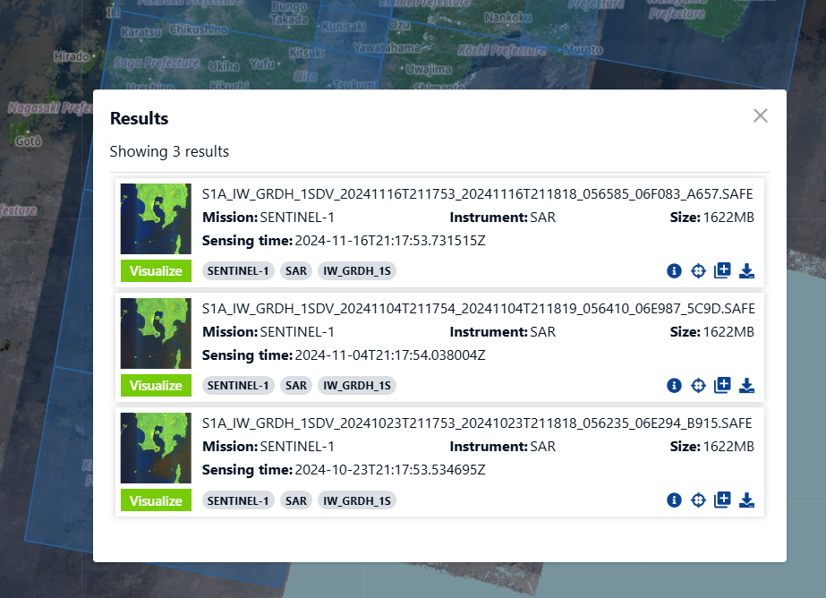
Copernicus Browser: 다운로드 - 장기간, 넓은 영역의 여러 자료는 data workspace에서 한 번에 받을 수 있습니다.
Sentinel-6A 고도계 (PO.DAAC)
- Sentinel-6A MF Jason-CS L3 P4 Altimeter HR NTC Ocean Surface Topography, F08
- Sentinel-6A MF Jason-CS L3 P4 Altimeter LR NTC Ocean Surface Topography, F08